I had to change my travel plans 'cause of this thing. Am coming home for my brother's wedding and was supposed to go Taipei-Tokyo-Seattle-Calgary, but the thing is going to be sitting right in between Taipei and Tokyo tomorrow when I'm supposed to fly.
Rearranged things some and found a Taipei-Vancouver that goes out tonight, figuring long-haul flights will be easier to route around a storm like this than short-haul flights.
A few things worth knowing about Typhoons that I've learned since going through a bunch.
1. A "Super" Typhoon is any category 4 or 5 Tropical Cyclone, so cat 4 and 5 Hurricanes that hit America and the Caribbean would be classified as "Super."
2. These storms weaken drastically the instant they hit land, which is not to say that being a hundred clicks inland is proof against any danger, but the real violence is smashed upon the coastlines, and what you get inland is pretty intense, but nothing truly catastrophic.
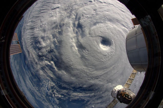
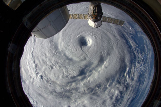
3. Satellite imagery often distorts the area of serious impact of a storm. I mean, this picture:

Makes the typhoon out to be this gigantic monster stretching all the way from the Philippines to Japan. We are seeing some impact here in Taipei, in the form of intermittent "heavy" rains. Meaning, that every hour or so there's two to five minutes of this 'heavy' rain, bearing in mind that there are three steps above 'heavy' here: extremely heavy, torrential, and extremely torrential.
The true area of the storm, is better reflected by this picture,

Which shows the area of >50 knot (90 kph) winds, which is equivalent to a level 10 on the
Beaufort Scale .


 what about eight year olds?

