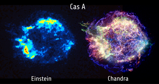
This is an X-ray image, but infrared can be treated int the same way. Because our eyes can't see these bands, you just take 3 bands of wavelength, and you assign each to the R, G, and B colour channels. It's a false colour, or psuedo colour image, but it allows you to visualize the different wavelength. The same is done with satellite images. They don't have one RGB sensor, they have several at specific wavelengths. 3 of these usually roughly correspond to our eye sensitivity, so they combine those channels back to create an RGB image, but they can also substitute in infrared bands which is useful for things like vegetation mapping.
TLDR: James Webb will still have cool images.