http://www.esri.com/news/arcuser/0610/nospin.html
Quote:
|
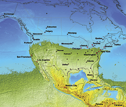
The following is not a futuristic scenario. It is not science fiction. It is a demonstration of the capabilities of GIS to model the results of an extremely unlikely, yet intellectually fascinating query: What would happen if the earth stopped spinning? ArcGIS was used to perform complex raster analysis and volumetric computations and generate maps that visualize these results.
|

Not really science, but neat.